
Southland
Southland

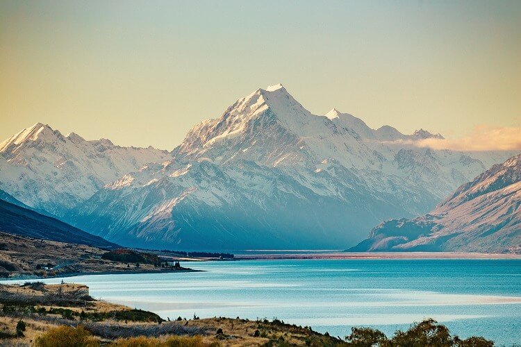
Southland is New Zealand’s southernmost region and is also a district within that region. It consists mainly of the southwestern portion of the South Island and Stewart Island / Rakiura.

Southlands is home to the famous Milford Sounds, a fiord that is home to fur seal colonies, penguins and dolphins, with sheer edged mountains, rainforests and waterfalls. It’s the perfect place for kayaking or taking a more leisurely cruise tour. Stirling Point on the southern tip of the Bluff, where you can take boat trips to Rakiura/Stewart Island.
The region covers over 3.1 million hectares and spans over 3,400 km of coast. Southland has a strong economy with an abundance of natural resources and is based on primary production and process industries such as dairying, meat processing and the world class Tiwai Aluminium Smelter. Unemployment here is tracking more favourably than the national economy.
